

Aerial Photo Map of Chester, VA We put your small town on the map! Want a custom area Aerial Photography Map, we have imagery for the entire USA. Interested in a Street Map of the same area? Interested in digital Aerial Photography so you can make/print your own map? Interested in USGS Topographic Maps also? |
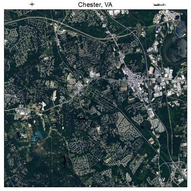
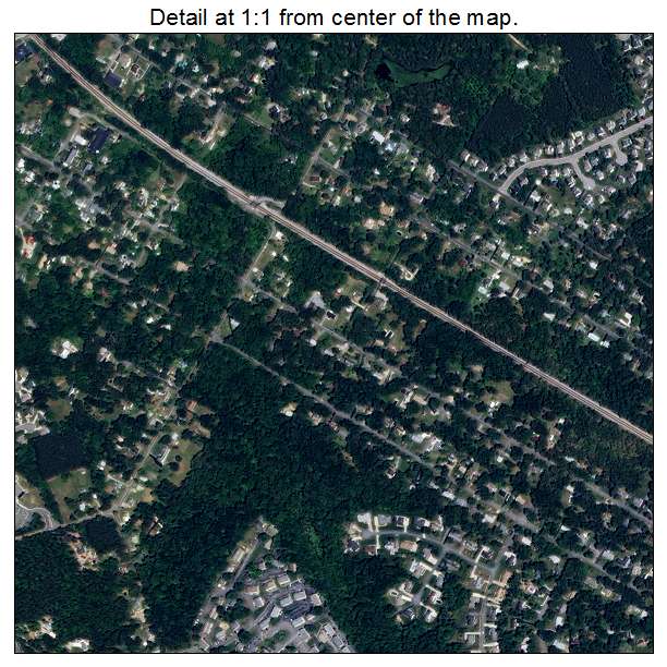
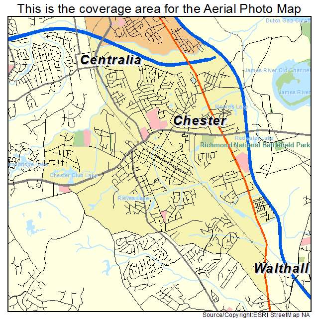
Chester, VA Virginia Aerial Photography Map 2021
https://www.landsat.com/chester-virginia-aerial-photography-map.html?srsltid=AfmBOop0_5Tg6J-nbh-HwIIQmtoQ0rQoHMw3KcvVALtrnEnhj-k1J7A7
2021 Aerial Photography Map of Chester VA Virginia
Image Trader
Product ID: APM-5116096
$19.97 New In Stock