

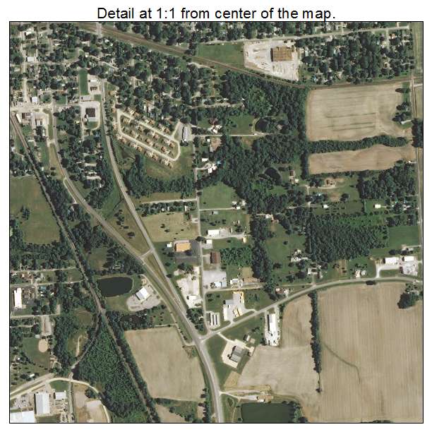
Aerial Photo Map of Centralia, IL We put your small town on the map! Want a custom area Aerial Photography Map, we have imagery for the entire USA. Interested in a Street Map of the same area? Interested in digital Aerial Photography so you can make/print your own map? Interested in USGS Topographic Maps also? |
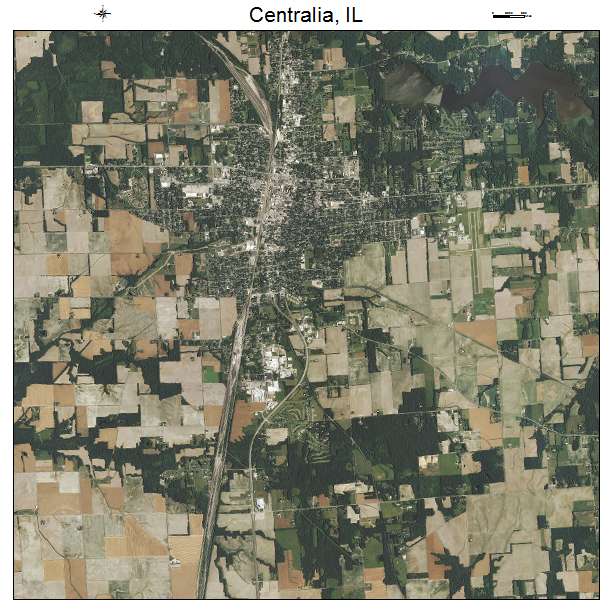
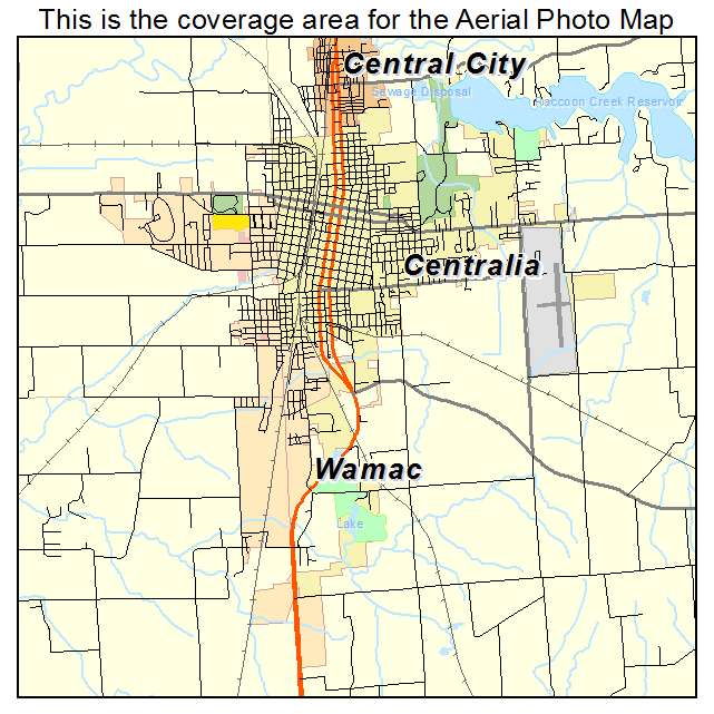
Centralia, IL Illinois Aerial Photography Map 2021
https://www.landsat.com/centralia-illinois-aerial-photography-map.html?srsltid=AfmBOopFv5GdBh1zGY-FvyJ-G1kgWyDrTErD92X8zU_pQ6MuAcks8rqY
2021 Aerial Photography Map of Centralia IL Illinois
Image Trader
Product ID: APM-1712164
$19.97 New In Stock