
Aerial Photo Map of Cedarville, AR We put your small town on the map! Want a custom area Aerial Photography Map, we have imagery for the entire USA. Interested in a Street Map of the same area? Interested in digital Aerial Photography so you can make/print your own map? Interested in USGS Topographic Maps also? |
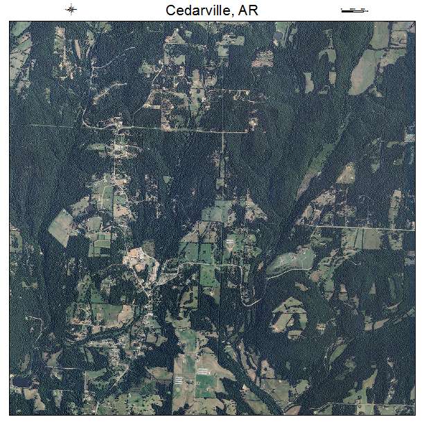
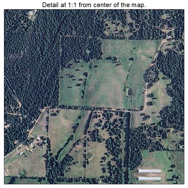
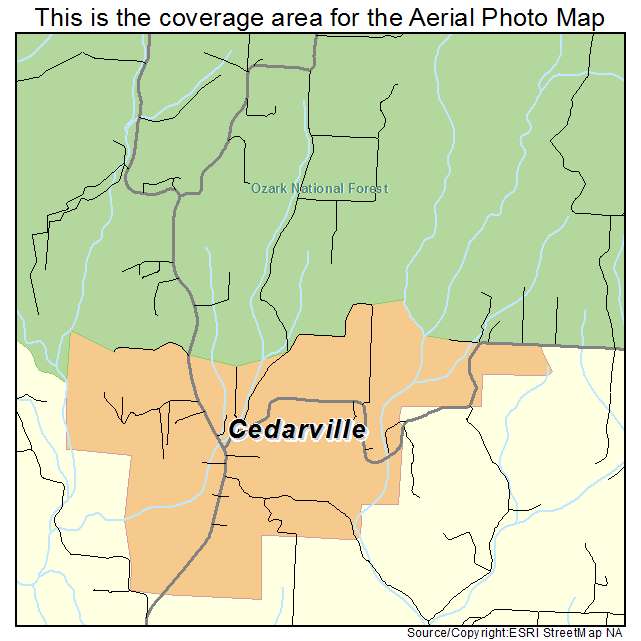
Cedarville, AR Arkansas Aerial Photography Map 2021
https://www.landsat.com/cedarville-arkansas-aerial-photography-map.html?srsltid=AfmBOoowd-xMW1lAROLVtPRy6-IG4ONoI-GQgVkn44iOiCZ_OL-pFhHV
2021 Aerial Photography Map of Cedarville AR Arkansas
Image Trader
Product ID: APM-0512520
$19.97 New In Stock