

Aerial Photo Map of Blackey, KY We put your small town on the map! Want a custom area Aerial Photography Map, we have imagery for the entire USA. Interested in a Street Map of the same area? Interested in digital Aerial Photography so you can make/print your own map? Interested in USGS Topographic Maps also? |
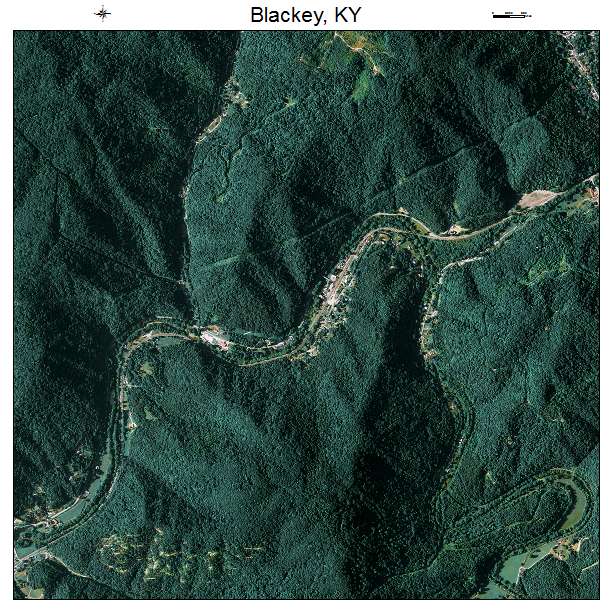
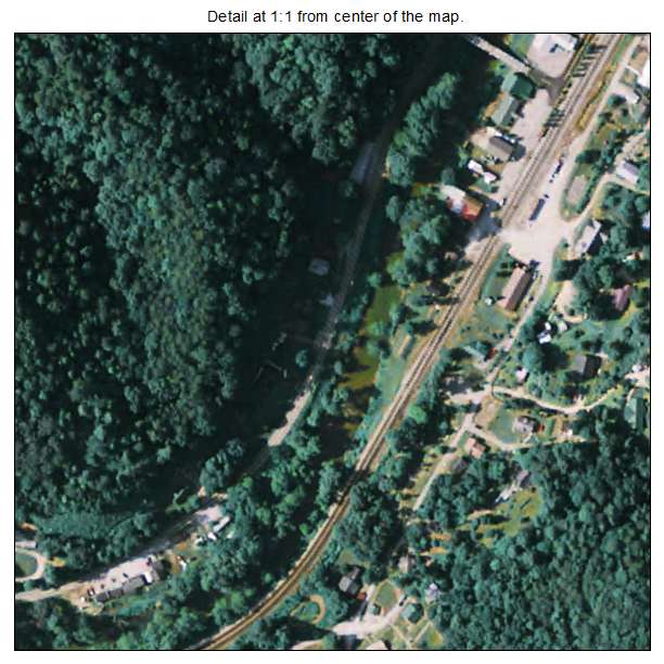
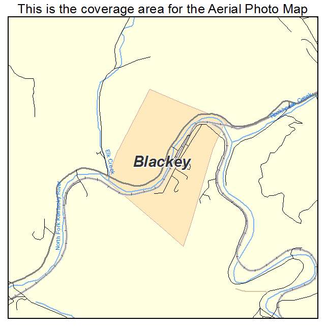
Blackey, KY Kentucky Aerial Photography Map 2020
https://www.landsat.com/blackey-kentucky-aerial-photography-map.html?srsltid=AfmBOorge5o_RlK3jO__g03YdNGr6g4pqZ-mM7j4NeUgpB-OQmjPq0pZ
2020 Aerial Photography Map of Blackey KY Kentucky
Image Trader
Product ID: APM-2107012
$19.97 New In Stock