
Baton Rouge, LA Aerial Photography Product Information
For GIS professionals only:
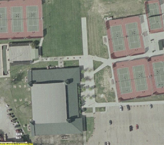
Baton Rouge, LA Aerial Photography 2002 MrSID format
https://www.landsat.com/baton-rouge-la-aerial-photography-2002.html?srsltid=AfmBOopgrOnZwBadkRMquxFjXvU88ibFECu18HnHdAqUQ5PIN-BXmA9V
High Resolution Aerial Photography for Baton Rouge, LA 2002 in MrSID format
Image Trader
Product ID: M-Baton-Rouge-LA3-02
$149.00 New In Stock