
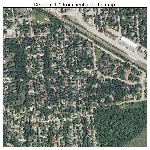
Aerial Photo Map of Barrington, IL We put your small town on the map! Want a custom area Aerial Photography Map, we have imagery for the entire USA. Interested in a Street Map of the same area? Interested in digital Aerial Photography so you can make/print your own map? Interested in USGS Topographic Maps also? |
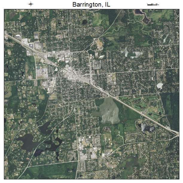

Barrington, IL Illinois Aerial Photography Map 2021
https://www.landsat.com/barrington-illinois-aerial-photography-map.html?srsltid=AfmBOopWSZq2miiDxEFCDMB87rMJdk2O7MPj4kQ0H7YJ63e4wCRBbv4J
2021 Aerial Photography Map of Barrington IL Illinois
Image Trader
Product ID: APM-1703844
$19.97 New In Stock