
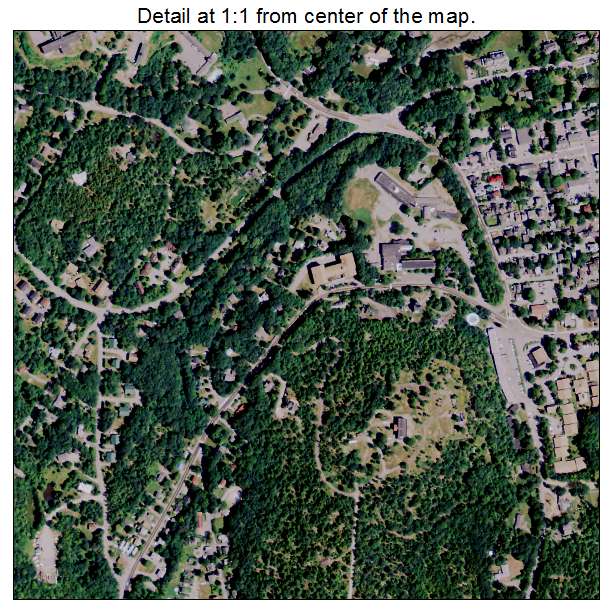
Aerial Photo Map of Bar Harbor, ME We put your small town on the map! Want a custom area Aerial Photography Map, we have imagery for the entire USA. Interested in a Street Map of the same area? Interested in digital Aerial Photography so you can make/print your own map? Interested in USGS Topographic Maps also? |
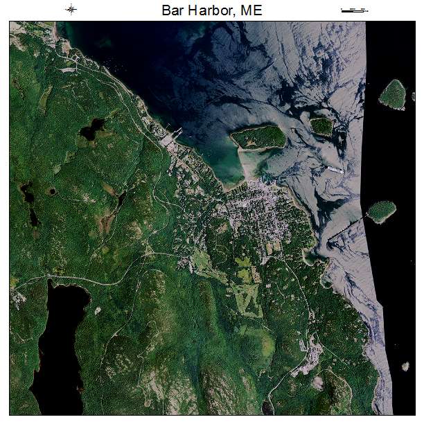
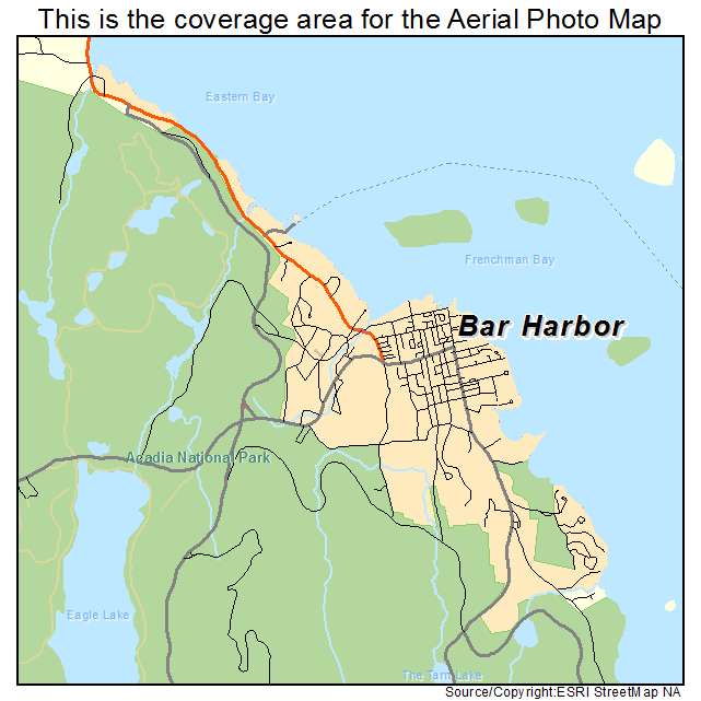
Bar Harbor, ME Maine Aerial Photography Map 2021
https://www.landsat.com/bar-harbor-maine-aerial-photography-map.html?srsltid=AfmBOoqprvX4AMHZvXJ_s3yV1-e_lzH3h6_dMLT34NKTlAfIgAu9kQ0G
2021 Aerial Photography Map of Bar Harbor ME Maine
Image Trader
Product ID: APM-2302830
$19.97 New In Stock