
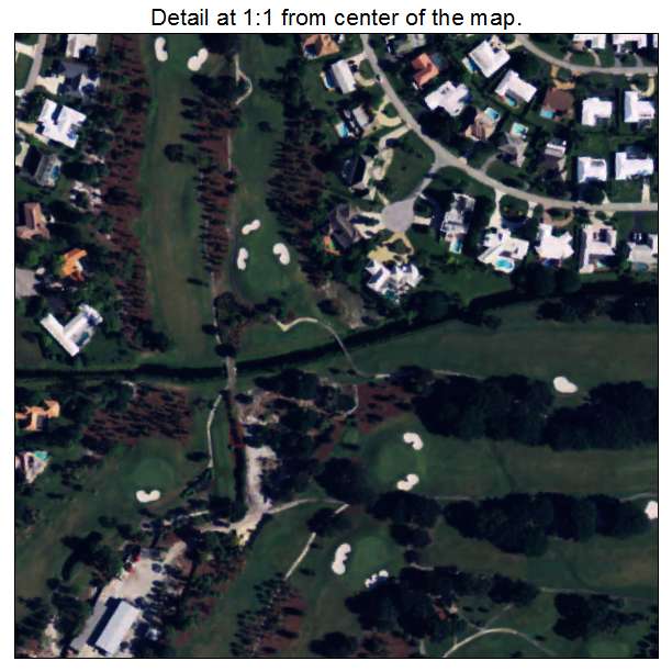
Aerial Photo Map of Atlantis, FL We put your small town on the map! Want a custom area Aerial Photography Map, we have imagery for the entire USA. Interested in a Street Map of the same area? Interested in digital Aerial Photography so you can make/print your own map? Interested in USGS Topographic Maps also? |
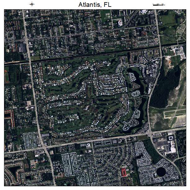
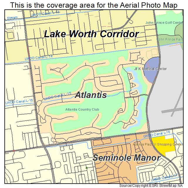
Atlantis, FL Florida Aerial Photography Map 2021
https://www.landsat.com/atlantis-florida-aerial-photography-map.html?srsltid=AfmBOooKy3PmOf5ARiwzOK1dofhN7_gkKHbli-biCnq2Rp1T8AX1k9aG
2021 Aerial Photography Map of Atlantis FL Florida
Image Trader
Product ID: APM-1202500
$19.97 New In Stock