
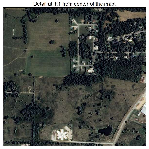
Aerial Photo Map of Ash Flat, AR We put your small town on the map! Want a custom area Aerial Photography Map, we have imagery for the entire USA. Interested in a Street Map of the same area? Interested in digital Aerial Photography so you can make/print your own map? Interested in USGS Topographic Maps also? |
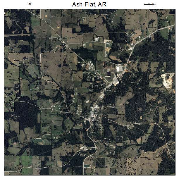
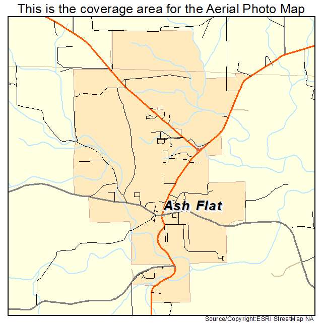
Ash Flat, AR Arkansas Aerial Photography Map 2021
https://www.landsat.com/ash-flat-arkansas-aerial-photography-map.html?srsltid=AfmBOoqZeqKN1hnWhaW5Upb33vA0slQQrWgN__pCL3pj75V1mhthSiMY
2021 Aerial Photography Map of Ash Flat AR Arkansas
Image Trader
Product ID: APM-0502470
$19.97 New In Stock