
Aerial Photo Map of Albertville, AL We put your small town on the map! Want a custom area Aerial Photography Map, we have imagery for the entire USA. Interested in a Street Map of the same area? Interested in digital Aerial Photography so you can make/print your own map? Interested in USGS Topographic Maps also? |
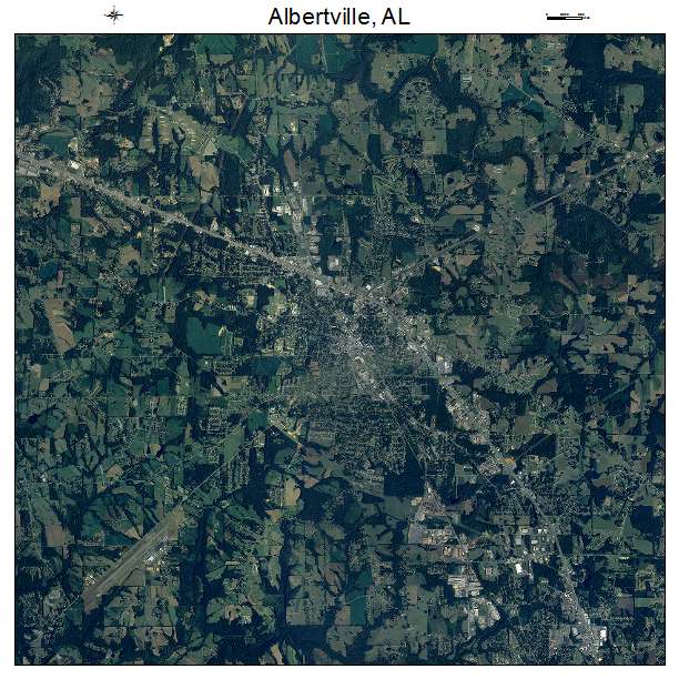
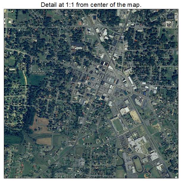
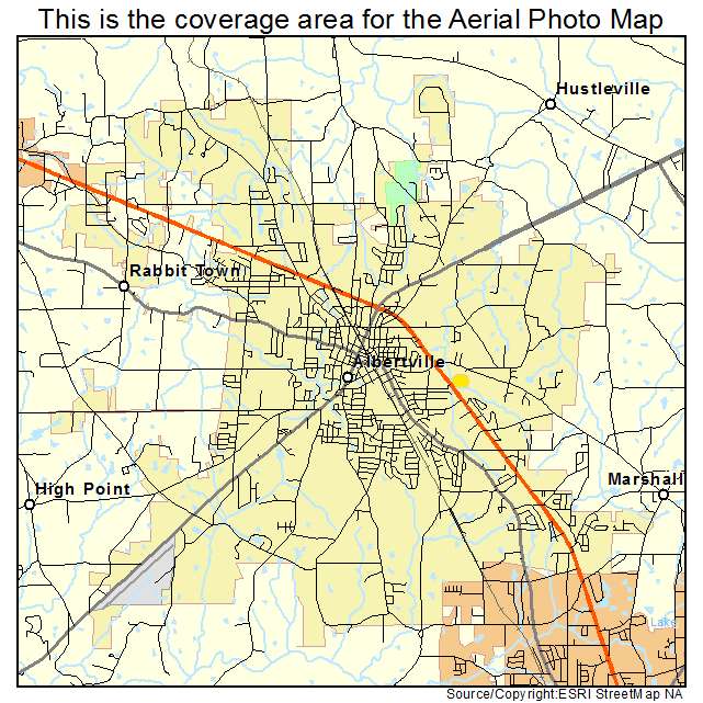
Albertville, AL Alabama Aerial Photography Map 2021
https://www.landsat.com/albertville-alabama-aerial-photography-map.html?srsltid=AfmBOor_owc67pxo_EyKSQC-t9CWC1GnA-Vnx3F-y42nzNq42D7Bu1Yq
2021 Aerial Photography Map of Albertville AL Alabama
Image Trader
Product ID: APM-0100988
$19.97 New In Stock