

Aerial Photo Map of Abingdon, VA We put your small town on the map! Want a custom area Aerial Photography Map, we have imagery for the entire USA. Interested in a Street Map of the same area? Interested in digital Aerial Photography so you can make/print your own map? Interested in USGS Topographic Maps also? |
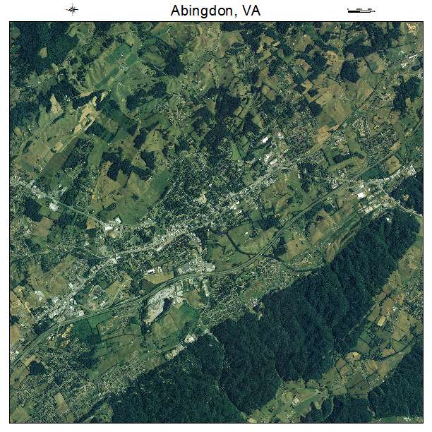
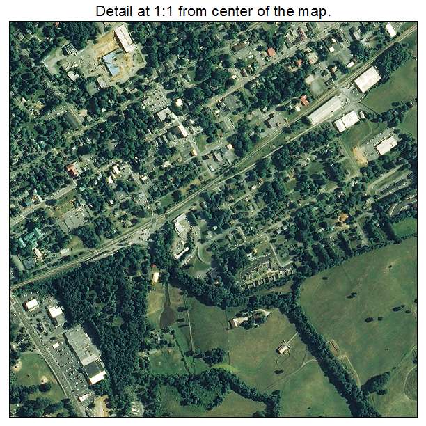
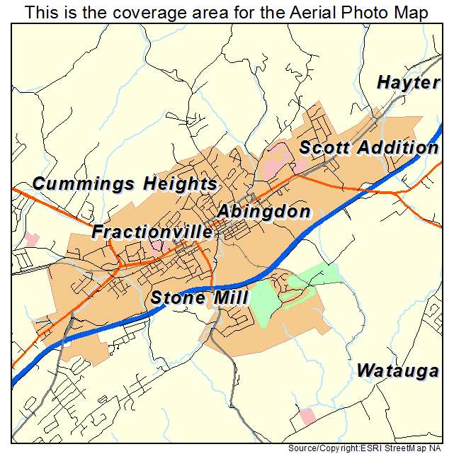
Abingdon, VA Virginia Aerial Photography Map 2021
https://www.landsat.com/abingdon-virginia-aerial-photography-map.html?srsltid=AfmBOoqiD-RXe62hxvROHzGMwRlW89FjVaG9gRJl-QU65Xf7mK8WNh10
2021 Aerial Photography Map of Abingdon VA Virginia
Image Trader
Product ID: APM-5100148
$19.97 New In Stock