Loading...
Home > USGS Topo Maps on CD > Virginia Topos > USGS Topographic Maps for Shenandoah County, Virginia

USGS Topographic Maps for Shenandoah County, Virginia

CODE: USGS-VA-51171


Price: $15.99

Perfect gift for Hunters and Hikers!


Make your own hiking maps - Sample of Grand Canyon
Your CD will have your County!


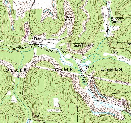
This is my hunting area. Carry only a small 8 1/2 x 11 inch map.

More Samples Yosemite National Park   Yellowstone National Park  North Branch, MN  Good hunting area

This easy to use USGS topo CD is a great way to print your own maps of anyplace in Shenandoah County, Virginia. These are the highest detailed USGS maps available. A scale of 1:24,000 allows considerable detail with elevation contours; 2.64 inches = 1 mile. All maps have been joined together into one digital file without the text in the borders. Print just your area, even if it falls on the corner of the original paper map. Our digital maps do not have corners or edges.

With the Shenandoah County, VA USGS Topo CD you can;

  • Print topo maps on your own printer.

  • Plan your routes for hiking, biking, riding, and driving with your own printed USGS topographic maps.

  • Measure distances/areas

  • Export topo maps on your web site, publication, or reports.

  • Pan and zoom in/out on the topo maps at your leisure.

  • Read map coordinates (UTM) and scale while you are roaming the topo maps.

  • Free GIS mapping software -Windows 98/2000/NT/XP/Vista/Win7. MAC users must run under windows dual boot.

  • Easy to use - No experience needed.

  • No restrictions of use. Commercial use is allowed. Use in publications, websites, & maps/posters. You get full utility of the data - not just a jpg snapshot!
  • Geographic Information System (GIS) professionals - The USGS DRGs are mosaiced into one MrSID image file in UTM NAD83 Meters coordinate system. Everything is there for use in you favorite GIS software - All ESRI products, (ArcGIS, ArcView, ArcInfo, ArcMap, ArcPAD etc.), Erdas, MapInfo, AutoCAD, any other GIS software that reads MrSID format.

  • Interested in Aerial Photography also?
    Shenandoah County, VA Aerial Photography CD

    Aerial map

    USGS topo aerial map
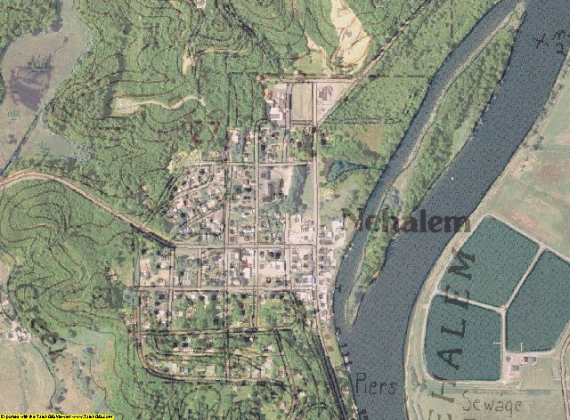
    Aerial Photography overlayed with USGS topographic map
    You must purchase both USGS TOPO CD and AERIAL PHOTO CD for your county in order to do this.
    Larger sample of Aerial with TOPO - PDF export from program (2 megabyte) .
    Here are instructions for making the Aerial with TOPO overlay map

    USGS Topographic Maps for Shenandoah County, Virginia
    USGS topographic maps for GIS mapping in ArcView, ArcMap, Erdas, MapInfo, AutoCAD, & Global Mapper. Product information for Shenandoah County, Virginia
    Image Trader
    Product ID: USGS-VA-51171
    $15.99 New In Stock