Loading...
Home > Digital Aerial Photography > Nationwide Aerial Photography for Continental USA 1 Meter Color

Nationwide Aerial Photography for Continental USA 1 Meter Color

CODE: nationwide-1nc


Price: $4,999.00

Nationwide aerial photography
Nationwide aerial photo sample

Nationwide aerial photography detail
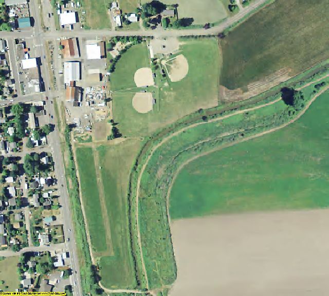
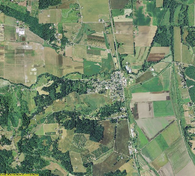
Washington County, OR aerial imagery zoomed in! This shows the level of detail you will get for Continental USA

See samples from other locations: Airport    Stadium   School  City   Farm   Farm zoomed in


Continental USA Aerial Photography of Product Information

Info for the GIS professional:

  • Date = 2012-2014 spring/summer (Best available imagery – 25 states in 2014 - balance in 2012-2013)
  • Coverage = Continental USA (except Nevada military areas)
  • Projection = UTM NAD83
  • Resolution = 1 Meter Color ortho-rectified
  • Format = MrSID 15:1 by the County
  • Compatible = all ESRI products, (ArcGIS, ArcView, ArcInfo, ArcMap, ArcPAD etc.), Erdas, MapInfo, ERMapper, AutoCAD any other GIS software that reads MrSID format
  • Delivery = USB hard drives or SATA drives (~4TB)
  • No restrictions of use. Commercial use is allowed
  • Nationwide Aerial Photography for Continental USA 1 Meter Color
    Nationwide Aerial Photography 1 Meter Color
    Image Trader
    Product ID: nationwide-1nc
    $4999.00 New In Stock