Loading...
Home > Digital Aerial Photography > Massachusetts > MA Statewide Imagery > 2005 Statewide Aerial Photography for Massachusetts 1/2 Meter Color

2005 Statewide Aerial Photography for Massachusetts 1/2 Meter Color

CODE: MA-5cmnc2005


Price: $199.00

Massachusetts aerial photography
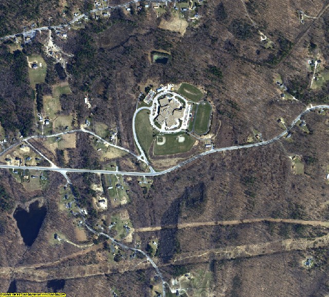
Massachusetts aerial photo sample

MA aerial photography detail
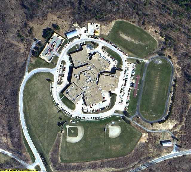
Massachusetts aerial imagery zoomed in! This shows the level of detail you will get for Massachusetts


2005 Statewide Aerial Photography of Massachusetts Product Information

Info for the GIS professional:

  • Date = 2005 spring/summer
  • Coverage = Full State
  • Projection = MA SP NAD83
  • Resolution = 1/2 Meter Color ortho-rectified
  • Format = MrSID 20:1 Tiled
  • Compatible = all ESRI products, (ArcGIS, ArcView, ArcInfo, ArcMap, ArcPAD etc.), Erdas, MapInfo, ERMapper, AutoCAD any other GIS software that reads MrSID format
  • Delivery = DVD or USB hard drive if more than 3 DVDs
  • No restrictions of use. Commercial use is allowed

  • **Not for novice users. Professional GIS use only**

    2005 Statewide Aerial Photography for Massachusetts 1/2 Meter Color
    Statewide Aerial Photography for Massachusetts 2005 1/2 Meter Color
    Image Trader
    Product ID: MA-5cmnc2005
    $199.00 New In Stock