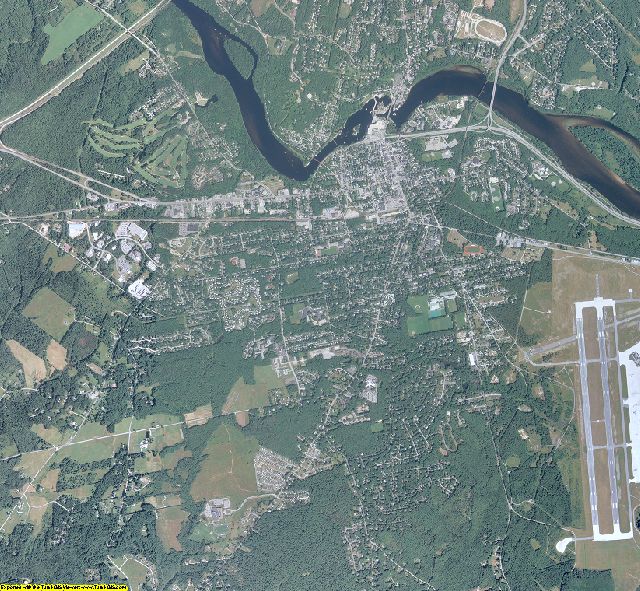
Sagadahoc County, ME aerial photo sample
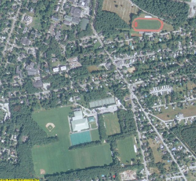
Sagadahoc County, ME aerial imagery zoomed in! This shows the level of detail you will get for Maine
See samples from other locations: Airport Stadium School City Farm Farm zoomed in
2007 Statewide Aerial Photography of Maine Product Information
Info for the GIS professional:
Date = 2007 spring/summerCoverage = 15 of 16Projection = UTM NAD83Resolution = 1 Meter Color ortho-rectifiedFormat = MrSID 15:1Compatible = all ESRI products, (ArcGIS, ArcView, ArcInfo, ArcMap, ArcPAD etc.), Erdas, MapInfo, ERMapper, AutoCAD any other GIS software that reads MrSID formatDelivery = DVD or USB hard drive if more than 3 DVDsNo restrictions of use. Commercial use is allowed
Info for Novice user:
Free GIS viewer software -Windows 98/2000/NT/XP/Vista or MACs. MAC users contact us for alternate viewerEasy to use - No experience neededPrint aerial photos at any scale on your own printer, even large postersPan and zoom in/outMeasure distances/areasRead map coordinates (UTM NAD83)Adjust brightness/contrastExport image to JPEG, TIFF, PDF, etc.15 of 16 coverage for Maine1 Meter Color imagery - See above sample2007 Aerial Photography taken in the spring/summerNo restrictions of use. Commercial use is allowed. Use in publications, websites, & maps/posters. You get full utility of the data - not just a jpg snapshot! Our competitors license their imagery and state "You may not use the imagery in any commercial or business environment or for any commercial or business purposes for yourself or any third parties."

