Loading...
Home > Digital Aerial Photography > Indiana > IN Statewide Imagery > 2014 Indiana Mosaic Dataset for ArcGIS 10

2014 Indiana Mosaic Dataset for ArcGIS 10

CODE: IN-Mosaic


Price: $359.00

Indiana aerial photography
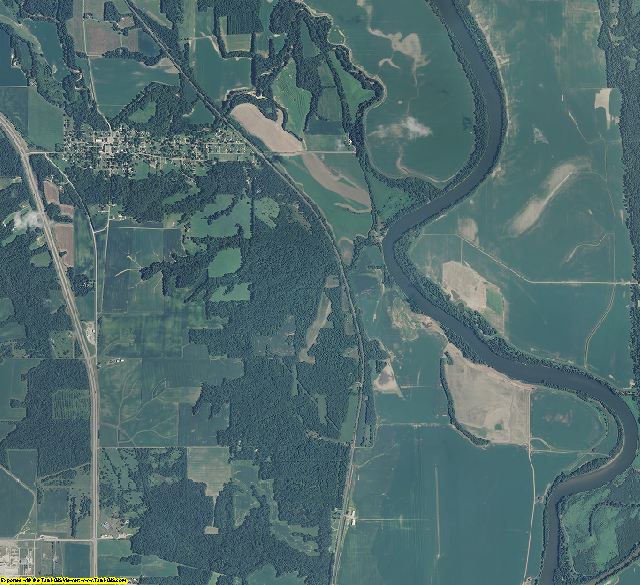
Vermillion County, IN aerial photo sample

IN aerial photography detail
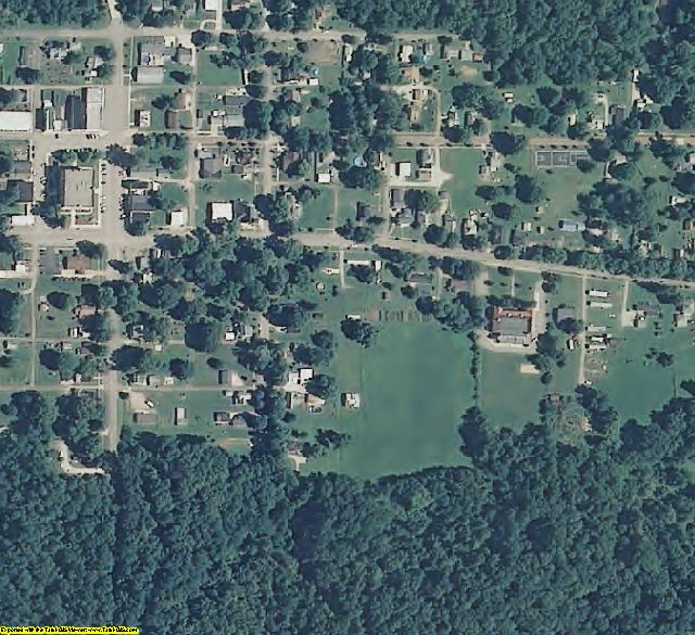
Vermillion County, IN aerial imagery zoomed in! This shows the level of detail you will get for Indiana

See samples from other locations: Airport   Airport zoomed in   Stadium    Stadium 2  School   Waste Water Treatment Plant   Treed Area & Farmland


2014 Indiana Mosaic Dataset for ArcGIS 10 Product Information

The Mosaic Dataset eliminates 3 imagery problems:
1. NoData – The Mosaic Dataset eliminates black areas between counties.
2. Color Balance - The data is color balanced between the counties & statewide.
3. Span UTM zones - The mosaic dataset re-projects the imagery so that it can be displayed across different UTM zones.

Info for the GIS professional:

  • Date = 2014 spring/summer
  • Coverage = Full State
  • Projection = UTM NAD83
  • Resolution = 1 Meter Color ortho-rectified
  • Format = MrSID 15:1
  • Compatible = ArcGIS 10 only, (ArcView, ArcEditor, or ArcInfo)
  • Delivery = USB hard drive. DVDs for small states.
  • No restrictions of use. Commercial use is allowed. Use in publications, websites, & maps/posters. You get full utility of the data - not just a jpg snapshot! Our competitors license their imagery and state "You may not use the imagery in any commercial or business environment or for any commercial or business purposes for yourself or any third parties."


    ArcGIS, ArcView, ArcEditor, & ArcInfo are a registered trademark of Esri

  • 2014 Indiana Mosaic Dataset for ArcGIS 10
    Statewide Mosaic Dataset for Indiana 2014 1 Meter Color
    Image Trader
    Product ID: IN-Mosaic
    $359.00 New In Stock