Houston Galveston, TX Aerial Photography Product Information
For GIS professionals only:
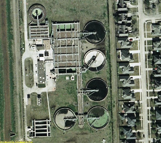
Date = 2/2004Coverage = See coverage mapProjection = State PlaneResolution = 0.3 meter Natural color, ortho-rectified, & color balancedFormat = MrSID 10:1Compatible = all ESRI products, (ArcGIS, ArcView, ArcInfo, ArcMap, ArcPAD etc.), Erdas, MapInfo, ERMapper, AutoCAD any other GIS software that reads MrSID formatDelivery = DVD or USB hard drive if more than 3 DVDsNo restrictions of use. Commercial use is allowed. Use in publications, websites, & maps/posters. You get full utility of the data - not just a jpg snapshot! Our competitors license their imagery and state "You may not use the imagery in any commercial or business environment or for any commercial or business purposes for yourself or any third parties."

