Choice of 18, 24, or 36 inch printed map
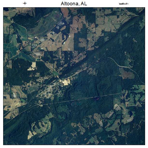
2019 aerial photography
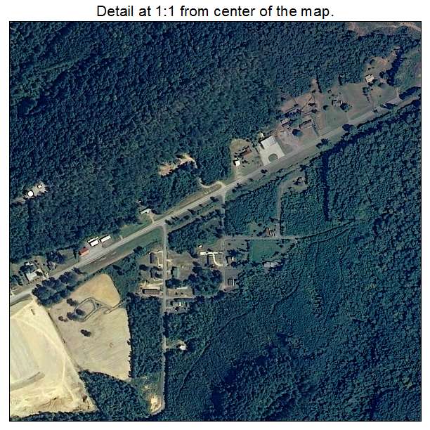
Detail at 1:1 from center of map
Displays approximate resolution of Map
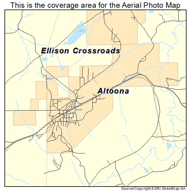
Please confirm the extent meets your needs.
If not, contact us at sales@landsat.com or call 928-853-6773
Aerial Photo Map of Altoona, AL 2019 aerial photography taken spring/summer.Printed with archival inks. 100 year life with proper storage.The map includes a title, north arrow, and scale bar.3 sizes to choose from. 18, 24, or 36 inch.Rolled and shipped USPS Priority tube.We put your small town on the map! Want a custom area Aerial Photography Map, we have imagery for the entire USA.
Interested in a Street Map of the same area?
Altoona, AL Street Map
Interested in digital Aerial Photography so you can make/print your own map?
Blount County, AL Aerial Photography CD
Interested in USGS Topographic Maps also?
Blount County, AL USGS Topo Map CD
| 