Loading...
Home > Digital Aerial Photography > Missouri > MO Statewide Imagery > 2003 Statewide Aerial Photography for Missouri 1 Meter CIR

2003 Statewide Aerial Photography for Missouri 1 Meter CIR

CODE: MO-1cir2003


Price: $99.00

Missouri aerial photography
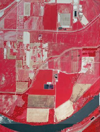
Midwest, USA aerial photo sample

MO aerial photography detail
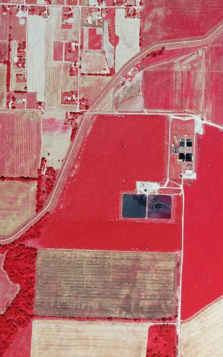
Midwest, USA aerial imagery zoomed in! This shows the level of detail you will get for Missouri

See samples from other locations: Airport   Airport zoomed in   Stadium    Stadium 2  School   Waste Water Treatment Plant   Treed Area & Farmland


2003 Statewide Aerial Photography of Missouri Product Information

Info for the GIS professional:

  • Date = 2003 spring/summer
  • Coverage = Full State
  • Projection = UTM NAD83
  • Resolution = 1 Meter CIR ortho-rectified
  • Format = MrSID 50:1
  • Compatible = all ESRI products, (ArcGIS, ArcView, ArcInfo, ArcMap, ArcPAD etc.), Erdas, MapInfo, ERMapper, AutoCAD any other GIS software that reads MrSID format
  • Delivery = DVD or USB hard drive if more than 3 DVDs
  • No restrictions of use. Commercial use is allowed

  • **Not for novice users. Professional GIS use only**

    2003 Statewide Aerial Photography for Missouri 1 Meter CIR
    Statewide Aerial Photography for Missouri 2003 1 Meter CIR
    Image Trader
    Product ID: MO-1cir2003
    $99.00 New In Stock